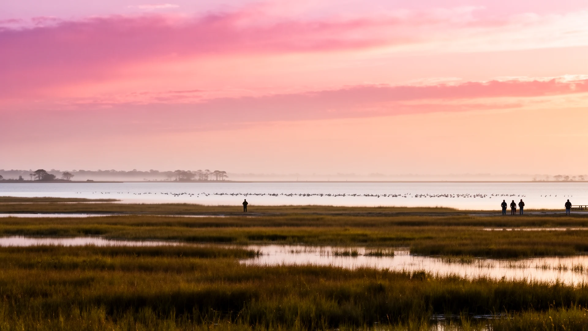



The wind comes off Lake Mattamuskeet in long, steady gusts, pushing the shallow water into whitecaps you can hear before you see them. A line of tundra swans sits a couple hundred yards out, heads tucked, riding it out like they own the place, because they do, every winter. This is the moment a shoreline lot on North Carolina’s largest natural lake sells itself, and it’s a good moment. It’s just not the whole picture. Here are nine things to verify before you write an offer on a Mattamuskeet shoreline lot.
1. The flood zone for the exact parcel
Hyde County is roughly 58% water by area, and a lot of the shoreline and marsh ground near the lake carries a high-risk designation on the FEMA maps. You check the zone yourself, for the exact address, at the Flood Map Service Center, and you do it before the offer, not during due diligence. If the parcel sits in a Special Flood Hazard Area and you’re using a federally backed loan, flood insurance is a condition of the loan, not a line you can negotiate out. Nobody’s opinion changes that; only the map does.
2. An elevation certificate, or the price of building high
For an existing house, a current elevation certificate is one of the few documents that measurably changes what you pay for flood insurance. If the seller doesn’t have one, budget to order one. For new construction, the base flood elevation sets how high the lowest floor sits, codes may add freeboard on top, and in much of this county hitting that height means bringing in fill dirt, which is itself a regulated activity. Price the pad before you buy the land, not after. The land, soils and building chapter walks the sequence.
3. Septic soils on the high water table
There’s no county-wide sewer in mainland Hyde. Outside the village systems you’re on septic, and the high water table is where the budget bites: a conventional system needs a certain depth of usable soil above the seasonal water table, and on a lot of shoreline ground that depth isn’t there. The fix is usually an engineered alternative system, and those cost more. Get a soil evaluation through the health department process or a licensed soil scientist, and make your offer contingent on an approved wastewater system for the home you actually intend to build.
4. Wetland status, even on dry-looking ground
Whether a parcel is a jurisdictional wetland doesn’t depend on whether it looks wet the day you walk it. Soils, hydrology, and vegetation decide it, and ground kept dry by ditches can still carry wetland status. If your plans involve clearing, filling, or building, ask whether a Corps jurisdictional determination or an NRCS certified wetland determination exists for the parcel, get a copy, and make the contract contingent on the determination you need. Wetland paperwork takes time, and time is a line item in your schedule.
5. CAMA permitting on the shoreline
Hyde County is one of the 20 counties covered by the Coastal Area Management Act, the list set in state statute G.S. 113A-103. In practice, CAMA means development in designated Areas of Environmental Concern, generally the sensitive zones near shorelines, coastal wetlands, and public trust waters, requires a permit before you build, fill, excavate, or put in structures like docks and bulkheads. If your shoreline plans include a pier or a stabilized bank, that’s not a county office question; that’s a CAMA question, with its own tiers and timelines.

6. The drainage system you’re inheriting
Nearly every acre of open ground in mainland Hyde started as wetland and stays usable because somebody engineered it: canals, field ditches, water control structures, and in places pumps. When you buy a shoreline lot, you’re buying into that system. Ask who maintains the canals and outfall ditches the parcel depends on, whether there’s a drainage association or an assessment, and whether the drainage easements are recorded. A lot whose water runs through a neighbor’s ditch with nothing in writing is a different purchase than one with recorded easements and a functioning maintenance arrangement.
7. The refuge boundary and what it fixes
The lake and roughly 50,000 acres around it became Mattamuskeet National Wildlife Refuge in 1934, and the refuge line is not a suggestion. Federal refuge land will never be developed, which puts a hard ceiling on how much private shoreline and huntable ground exists near the water, and it also means your lot’s use rules depend on exactly where the boundary runs. Get a map that shows the parcel against the refuge boundary, not a verbal assurance about it.
8. Water level history and shoreline stability
Mattamuskeet is a shallow, wind-shaped lake with no significant natural inflow or outflow, and its shoreline moves more than a buyer from higher ground expects. Add the fact that tidal marsh along this stretch of coast is rising in relative sea level by a few millimeters a year, and the honest takeaway is that the water’s edge is not a fixed asset. Look at historical water levels, aerial imagery across seasons, and where any bulkhead or natural bank actually sits relative to the flood maps before you price the view.
9. Insurance quotes before contract
At Hyde County’s price points, a combined flood-plus-wind premium can move your debt-to-income math enough to change what a lender approves. Wind and hail coverage here is often written through the NCIUA, known statewide as the Beach Plan, the residual market the state created for eligible coastal counties, which means a lot of owners carry three policies with three renewal dates. Get real, current quotes from a licensed NC insurance agent on the actual property before you’re under contract, not a generic county estimate. The flood, wind and insurance chapter is the full walkthrough.
The honest trade-off
None of this makes a Mattamuskeet shoreline lot a bad buy. It makes it a specific buy, with a longer checklist than a lot on a higher, drier county, and the trade is real: you carry the insurance stack and the drive to services, and in exchange you get the biggest natural lake in North Carolina at dawn, swans by the thousands in November, and the working-waterman rhythm of Fairfield and Engelhard a few miles down the road. What you’re buying is a place that asks you to respect its water, its wind, and its federal neighbors. Buy it with your eyes open, and it holds up.
The Bottom Line
Nine checks, all of them doable before you write an offer, and all of them cheaper before closing than after. Travis pulls flood layers, elevation certificates, soil evaluations, and CAMA exposure on Mattamuskeet shoreline properties every week, and he can walk this list against a specific parcel. Call or text him at (252) 202-4945, or start with the land, soils and building chapter.